
Crystal Lake ZIP Coverage
Three ZIPs carry the Crystal Lake postal label in the documented sources. Two are standard delivery areas. The third is used for post-office boxes and must not be treated as a neighborhood. Exact street assignment should always be checked with USPS because a Census ZIP Code Tabulation Area is a broad statistical shape, not the postal service's live route file.
| ZIP | Area served | Postal role | Research note |
|---|---|---|---|
| 60012 | Northern and western city addresses plus adjacent rural-facing territory | Standard street delivery | Extends beyond Crystal Lake city limits |
| 60014 | Much of the main city and eastern or southern address area | Standard street delivery | Also reaches territory outside the municipal line |
| 60039 | Crystal Lake post-office boxes used by agencies and organizations | PO-box-oriented | Not a residential parcel geography |
Older routing material mentions 60010, 60021, and 60098, but that does not make them current Crystal Lake street ZIPs. Keep the Crystal Lake ZIP code directory limited to the verified current roles above unless USPS confirms a specific address.
Verify Crystal Lake ZIP Labels
The USPS ZIP Code Lookup is the official first stop. Use a complete street address when the property is near a postal or city edge. A city-and-state query may return available ZIPs, but it does not settle which code belongs to one house.
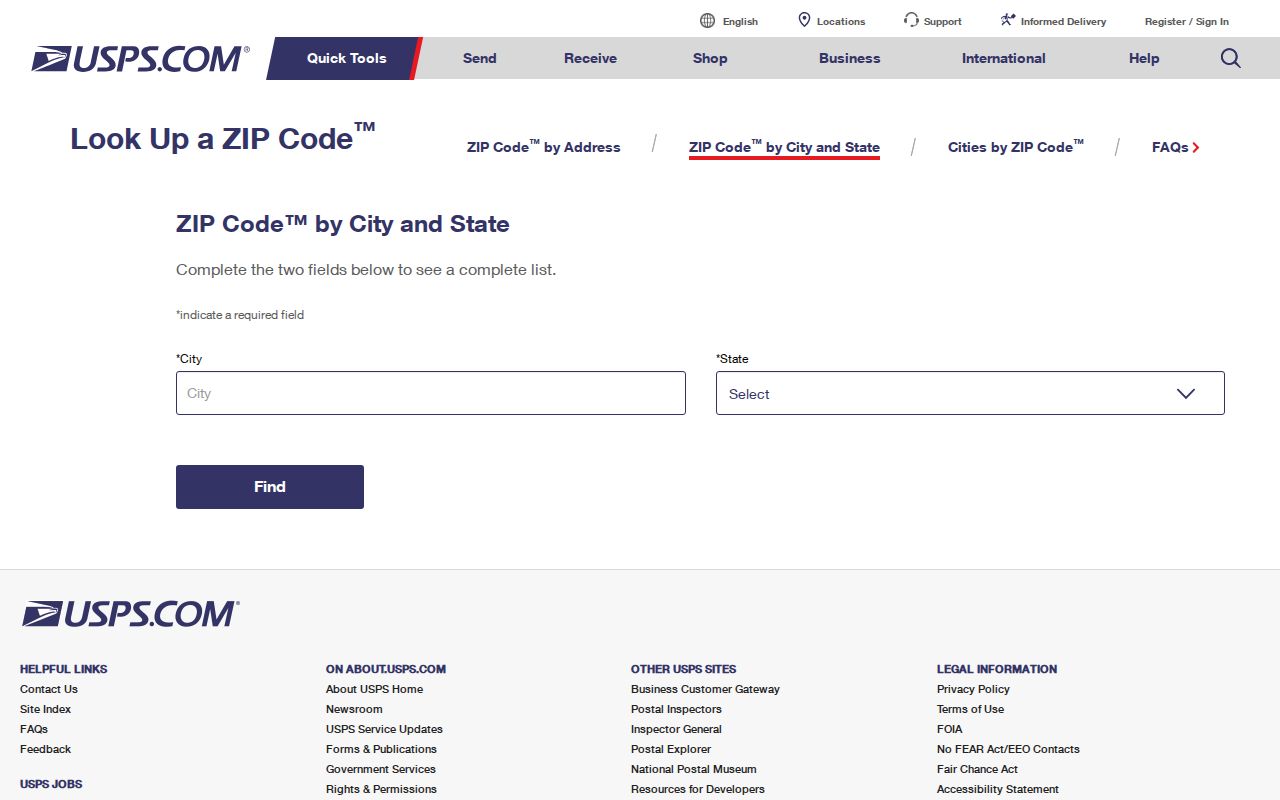
The lookup confirms a delivery label. It does not establish municipality, ownership, school district, township, fire district, or who lives at the address. Save the standardized street form because county records may abbreviate it differently. Then compare the house number and street in the parcel portal. If USPS and the parcel record disagree, preserve both results and ask the relevant custodian instead of forcing one label onto every system.
| Input or result | What it does | Limit |
|---|---|---|
| Complete street address | Checks the postal form and ZIP | Does not prove city limits |
| City and state | Shows ZIPs associated with a place label | Too broad for a parcel |
| ZIP | Returns postal-city information | Not a public resident list |
Crystal Lake ZIPs Versus Limits
A postal city is a mail-routing label. Crystal Lake's legal boundary is kept through city maps and official municipal records, while McHenry County GIS and assessment records define parcels and taxing districts. Lakewood and unincorporated pockets can share lake and postal vocabulary without being inside Crystal Lake. A record reading “Crystal Lake, IL 60014” is therefore a lead, not a boundary finding.
The successful association-boundary image gives one local example of a boundary that does not match a ZIP or the whole city. Review the Crystal Lake and Lakewood lakefront association boundaries as a civic layer, not a resident roster.
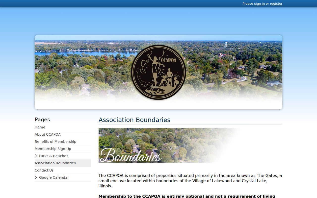
The map shows why a ZIP-wide result should be narrowed with a parcel, official city map, and the specific organization or district source.
- ZIP code
- A five-digit postal routing code. It does not define a city boundary.
- ZIP+4
- A more precise postal add-on for a delivery segment, building, or group of boxes.
- PO-box ZIP
- A code used mainly for boxes at a postal facility, such as Crystal Lake's 60039 role.
- Unique ZIP
- A code assigned to one high-volume organization. No Crystal Lake unique ZIP was documented.
- Carrier route
- A postal delivery path that can cross civic or statistical boundaries.
Three Crystal Lake Address Labels
Public records can show three different address concepts. Mixing them causes false matches, especially when a taxpayer receives mail away from the parcel or when a Crystal Lake postal label sits outside the city.
| Address type | Meaning | Best source |
|---|---|---|
| Situs address | The physical location of a parcel | wEdge, Athena, city permit record |
| Mailing address | Where the taxpayer or recorded party receives mail | Tax bill or recorded document |
| Postal city and ZIP | The USPS delivery label | USPS lookup |
Mail To and Assessed To fields are not an occupancy roll. A trust, business, or remote mailing address may appear. Property Location is the better starting point for geography, but even that must be compared with city and district maps. The PIN, a ten-digit parcel identifier often shown in three groups, is the stable handoff from tax search to GIS and recorded deeds. It is not a street number or person identifier. A subdivision plat can connect the parcel to its lot, block, dimensions, and legal description.
Find Crystal Lake Residents by ZIP
No official portal found in the research returns a ZIP-wide list of Crystal Lake residents. The voter tool uses a ZIP as one part of a supplied identity and address check. The county tax portal has a City field but no visible ZIP filter. Athena offers parcel, subdivision, address, owner, and sales modes without a visible ZIP control. The Recorder and city permit systems work from address, parcel, party, document, type, or status.
- Verify the full address and five-digit ZIP through USPS.
- Enter the street in McHenry County Property Tax Inquiry and confirm the Property Location and PIN.
- Open the parcel in Athena and check municipality, township, and tax-district context.
- Use the Illinois voter lookup only to confirm a supplied person, birth date, ZIP, street number, and street name.
- Move to the Crystal Lake street directory when the task becomes a house-number range or named-street search.
This workflow uses a ZIP to narrow and verify, not to create a bulk household list. A no-result can reflect a typo, outdated address, protection rule, or a portal's field design.
Crystal Lake ZIP Search Fields
The ZIP code directory becomes more accurate when each portal is asked only for what it can return. These are the search fields documented in the research.
| Official tool | ZIP-related input | Other fields | Output role |
|---|---|---|---|
| Illinois voter lookup | Five-digit ZIP is required on the first pass | First name, last name, birth date; then street number and name | Confirms one supplied identity and address |
| McHenry wEdge | No visible ZIP field; use postal result to normalize address | House number low/high, street, City | Returns parcel and tax records |
| Athena GIS | No visible ZIP filter | Parcel, subdivision, address, owner, sales | Maps parcel and district context |
| Recorder AVA or Laredo | No ZIP-wide resident mode | Address, PIN, party, document, subdivision, tract | Finds recorded land instruments |
Illinois Election Code limits public voter-file fields and uses. The public lookup is not a street roster. It confirms data already supplied by the searcher.
Crystal Lake's Older Place Names
ZIP codes are modern tools, so they do not solve older map and directory work. Nunda and Crystal Lake incorporated as separate villages in 1874. Nunda changed its name to North Crystal Lake in 1908, and North Crystal Lake joined Crystal Lake in 1914. Those names should all be tested in old newspapers, directories, cemetery files, deeds, and maps.
A street such as Beardsley, Brink, Caroline, Crandall, Dole, Gates, King, Paddock, Peterson, Pierson, Pomeroy, or Walkup can be a better historic search key than a ZIP. The library's city maps span 1915 through 2012, while county atlases and Sanborn sheets help bridge earlier places to modern parcels.
Refine Crystal Lake ZIP Geography
School, park, library, fire, township, and tax boundaries cross postal and city lines. The county tax bill lists taxing bodies along with Property Location, legal description, PIN, exemptions, and mailing fields. It functions as a routing record as well as a tax statement.
After checking USPS, use McHenry County Athena for parcel and district layers. County GIS and Assessments can also answer questions by phone at 815-334-4290 and 815-334-4496. For a location inside Crystal Lake, Community Development at 815-356-3605 handles city planning and permit context. Library reverse directories and maps supply the historical route, while Recorder plats explain lot and block lines.